en GPS Tab4 Axes (bubbles)
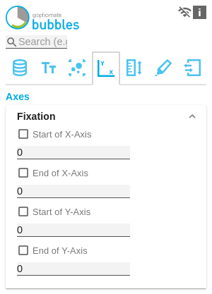
FixationYou can use the Start of X/Y Axis option to have the scaling of the axis start at 0 or any other arbitrary value. Similarly, you can use the End of X/Y Axis option for the corresponding axis to let the scaling of the axis end at any value. | |
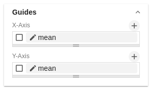
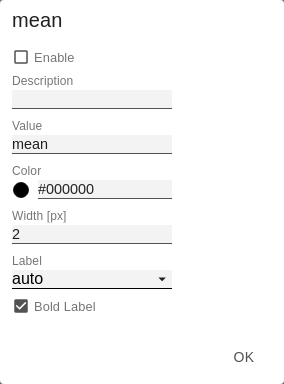
GuidesTo highlight threshold or target values, the so-called Guides can be added, whose appearance can be extensively customized. Guides Pop-UpWith the + button Guides definitions can be added. The following options are available for each guide:
| |
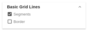
Basic Grid LinesSegmentsIf segments are deactivated, no Grid Lines of the coordinator system are drawn. BorderWhen Border is activated, a frame is always displayed around the coordinate system. | |
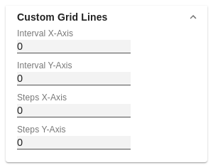
Custom Grid LinesIt is possible to display additional lines in the grid. These are defined either by the size of the intervals (Interval) or the number of steps (Steps). The size of the intervals describes the line distance in the unit of the respective axis. The number of steps defines how many parts the respective axis consists of. For a meaningful representation the feature Segments should be deactivated. |
